Share the page
MADATLAS Project - An academia partnership for sustainable regional development
Project


-
Project start date
-
Status
Ongoing
-
Project end date
-
-
Project duration
-
5 years
-
AFD financing amount
-
€ 3 180 000
-
Country and region
-
Location
-
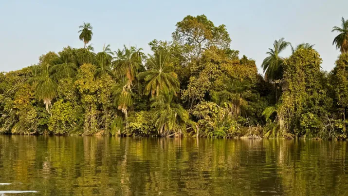
Fianarantsoa, Madagascar
-
Type of financing
-
Beneficiaries
-
UF – Université de Fianarantsoa ; , UGE – Université Gustave Eiffel
Train the stakeholders involved in the sustainable regional development in Madagascar – this is the ambition of the MADATLAS project, which was selected for the first edition of the “Academia Partnerships Africa-France” programme. Led by the Université de Fianarantsoa in Madagascar and the Université Gustave Eiffel in France, it aims to set up a job-oriented training programme from Bachelor/Licence to PhD/Doctorate level, focused on digital cartography, geomatics and sustainable regional development.
Context
Cutting across all sectors, digital mapping information is a powerful vector of sustainable development. Land use and natural resources, management and urban planning are among some of its applications. It can be exploited by the State, local authorities, national firms and multinationals, start-ups and civil society.
However, Madagascar’s mapping information is not up to date or complete. The country’s priority? Train professionals able to mobilise on challenges such as climate change observation and monitoring, risk and environmental crisis management, health, epidemiology and food, natural resources management and biodiversity conservation.
Description
The MADATLAS project to set up a long-term strategic partnership for higher education training focused on digital cartography, delivered in hybrid mode, at the Université de Fianarantsoa (UF): a quality, job-oriented training programme for Bachelor/Licence, Master, PhD/Doctorate level, and attractive both nationally and internationally.
The ambition? Contribute to sustainable regional development in Madagascar.
This project was selected for the first edition of the “Academia Partnerships Africa-France” programme (PeA). It is financed by the French Ministry for Europe and Foreign Affairs via the Agence française de développement (AFD). The PeA programme is implemented by the Agence nationale de la recherche (ANR – French National Research Agency) and Campus France with support from the French Ministry of Higher Education and Research.
Impacts
This project contributes to achieving the following Sustainable Development Goals (SDGs) :
- Co-build quality, job-oriented training programmes on the African continent (SDG 4).
- Ensure access to safe water, hygiene and sanitation for all (SDG 6).
- Reduce inequality (SDG10).
- Combat climate change and its impacts (SDG 13).